Categories
Landscape Nature

What a difference a year makes

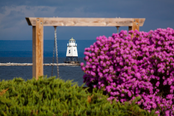
Last year, Lake Champlain was dealing with historic flooding. This year, I’ve started to hear references to record low lake levels. Since I now commute along the waterfront, I’ve been witness to the lack of water. Take the photograph below. It was taken yesterday, April 25th, 2012.
One year ago, the same lighthouse looked like this.
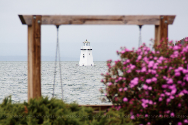
When I compare the two images, I think the lighthouse was actually damaged enough that they had to remove some of the lower boards.

According to this chart, the lake level should be around 99′ at this time of year. Instead, we’re at about 96.5′ — more like what I would expect in June. And that’s after a pretty rainy couple of days. We were at 96.0′ on April 21st. According to the USGS, the lake level changes by about 5′ annually. If we’re at the annual high point now, what does that mean for the rest of the summer? Will September or October 2012 bring us new record lows, only 18 months after record highs?

On a somewhat related note, there’s still a lot of effort going in to repairing our broken state after last year’s flooding. There are lots of people in VT that still need homes rebuilt and businesses that are still recovering.  One of the things that’s near and dear to my heart is the Burlington Bike Path. OK, it’s somewhat selfish, it’s part of my daily commute — but it’s also a big draw for tourism. Many events like those put on by Run Vermont and Race Vermont rely on the Bike Path for their routes. It’s in rough shape right now as a result of all the flooding last year. Parts have been patched, and repairs on other sections have begun, but there’s a long way to go.  Local Motion has put together a fund to help repair the Island Line Trail. If you use this path and have a few dollars to spare, I’m sure they would appreciate any contribution.

If the Bike Path isn’t your thing, maybe consider the VT Irene Flood Relief Fund or VT Farm Disaster Relief Fund.

Categories
Nature

Tropical Storm Irene Photos from Burlington, Vermont

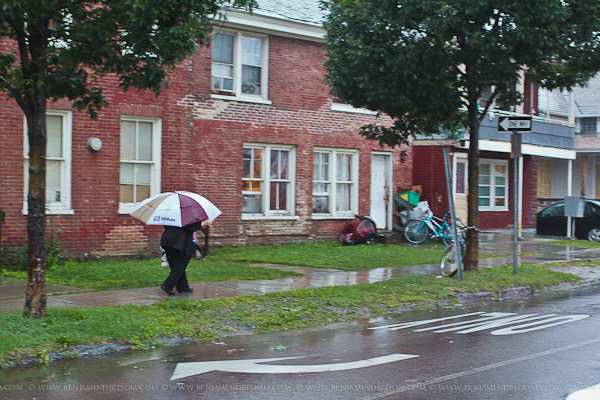
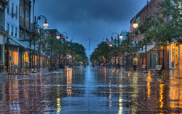
Burlington was very lucky with tropical storm Irene. When she was a hurricane and the path was uncertain, we didn’t know if it was going to come up Lake Champlain and destroy cities along both sides of the water or if it was going to veer out to sea. Ultimately, Burlington received heavy rain for about 24 hours combined with some sustained winds.

The rest of Vermont has devastating flooding. There are covered bridges that have washed away; towns that are under water; roads that no longer exist; and significant damage to farmlands. We expect the rivers to swell over the next day or two, so I suspect the real extent of the damage is unknown at this point. Suffice to say, there will be a lot of people who need a lot of help over the coming days, weeks, and months.

Church St. in Burlington, VT during tropical storm Irene.

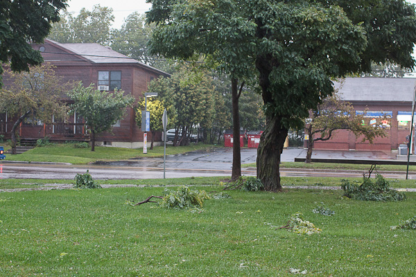
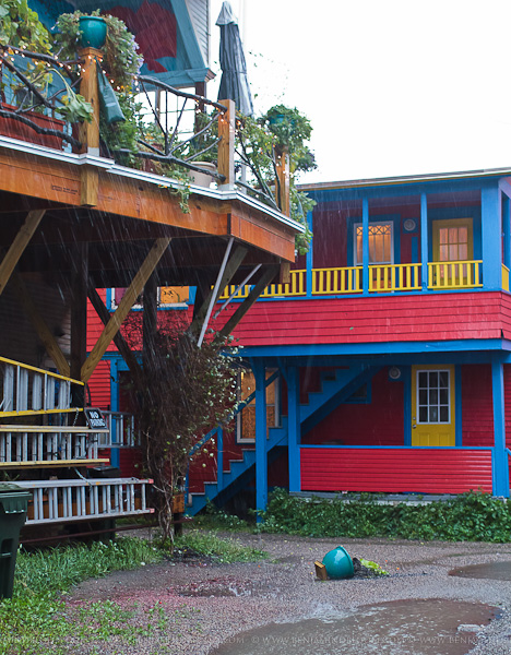
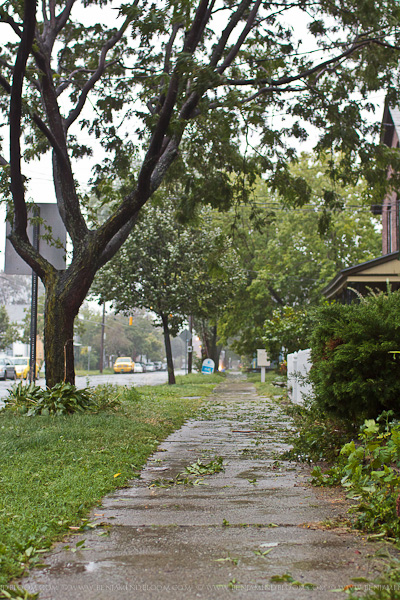
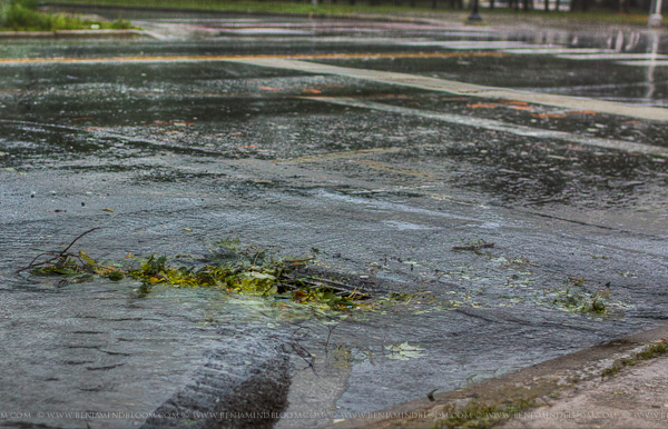
The extent of the damage I’ve seen in Burlington has been limited to a few small & medium sized branches, leaves covering many sidewalks, and a potted plant that fell from a second story porch.

Categories
Landscape Nature Photograph

Walking along the Burlington waterfront

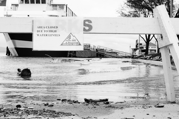
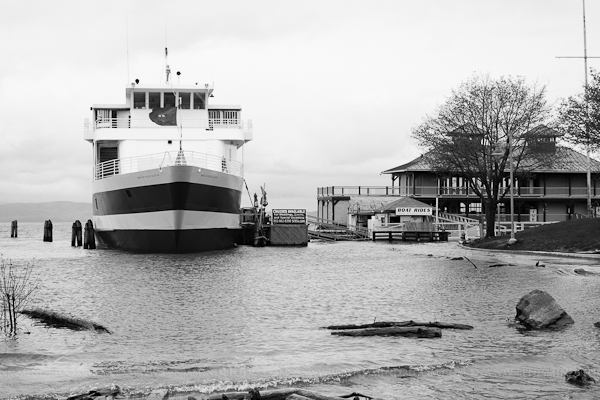
Lake Champlain has crested 103′ for the first time. We’re more than 3 feet above flood stage and about one foot over the previously highest recorded lake levels. And lake levels are expected to continue rising over the next day or so.

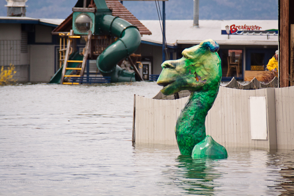
So, to continue with my flood-related photo activities, I went for a walk along the Burlington waterfront to see the sights. I saw a lot of people doing the same thing, nearly everyone with a camera in hand. The first thing I noticed was our buddy Champ. A few weeks ago, the water was high but I could walk next to him. Now, it looks like he’s been shifted by water that’s a foot or two higher. He’s now looking the other direction almost as if he can’t believe how high the water is either.

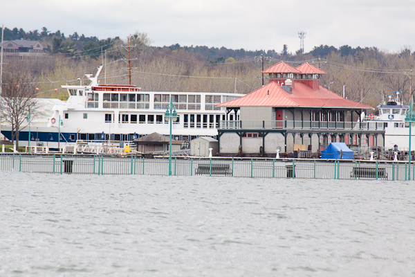
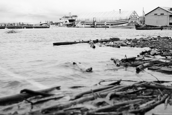
Continuing down the waterfront there are some signs that spring is making an appearance, but mostly there’s just a lot of water. Even in places where the lake hasn’t swallowed up the land, there are standing puddles of water. The breakwater is nowhere to be seen; the coast guard launch is non-existant;  the pier just north of the waterfront is at lake level, if not a bit submerged.

If you haven’t been down to the lake to see it first-hand, you owe it to yourself to make it to the waterfront. The photographs in the Burlington Free Press are impressive and the aerial photos that Governor Shumiln posted to his blog are great, but there’s nothing like seeing it in person.

Categories
Nature Photograph

It just keeps coming; Vermont flooding gets worse

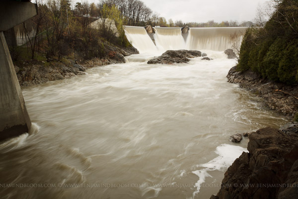
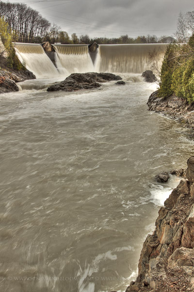
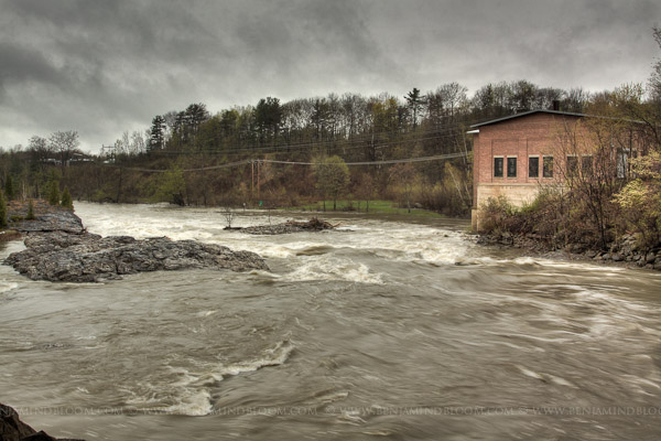
The rain keeps coming, the rivers are raging, and the lake is rising. I’ve taken to going on a quick walk at lunch time or at least making a brief stop on the way home to check out some of the flooding in the area. Today, I stopped at the IBM dam on the Winooski River. Last October I had stopped here to snap some photos of the flooding we were experiencing then. Conveniently, I had taken some photographs a few weeks before so I had some nice before and after shots of the river. I decided to stop at the same location today to see how it compared. I think, actually, that the river was probably flowing faster in October.

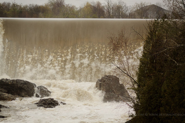
I think this next photo gives the best comparison to what things looked like last September and October in the same place.

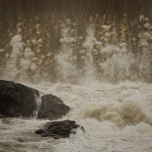
I was intrigued, today, with the way the bubbles danced as the water cascaded over the falls.

The flooding in the Champlain Valley and on Lake Champlain is definitely worse right now. You only have to see these aerial photos to understand that.  I think, though, there was more water coming down the Winooski last October. What do you think? Drop me a comment below and let me know.

Categories
Landscape Nature Photograph

More flooding in Vermont

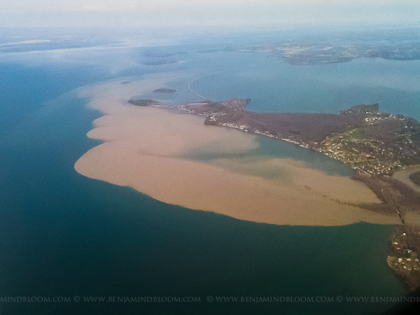
I was in Washington D.C. early this week and was supposed to travel home to Vermont during the thunderstorms Tuesday evening. The flight was delayed and eventually cancelled which meant I flew up over Lake Champlain at around noon on Wednesday. I was greeted with sights that I’ve only seen in photos from other flooded areas. Silt and debris flowed out of every river and stream into Lake Champlain creating plumes of muddy water. The photo below is of the mouth of the Winooski river with the silt streaming north past Colchester point and towards the mouth of Malletts Bay. Usually I travel with a decent camera, but this was a quick trip and all I had on me was my iPhone.

Silt and debris floods into Lake Champlain from the Winooski River

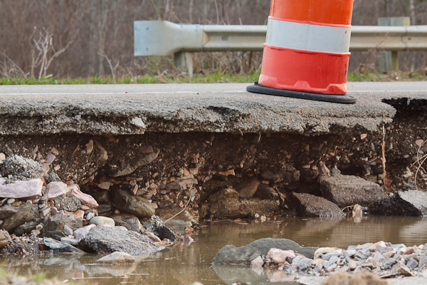
After dinner, Tawny and I decided to walk over to the farmer’s field near our house to see what the flooding had done. Earlier in the day Route 128 was closed right here, but the waters had receded enough to re-open by early evening. The flood waters had eroded large parts of the shoulder but the traveled lanes still looked structurally sound.

Erosion undercut many roads in the Burlington area. Route 128 in Essex is open as of this evening, but it's a little more narrow than it used to be.

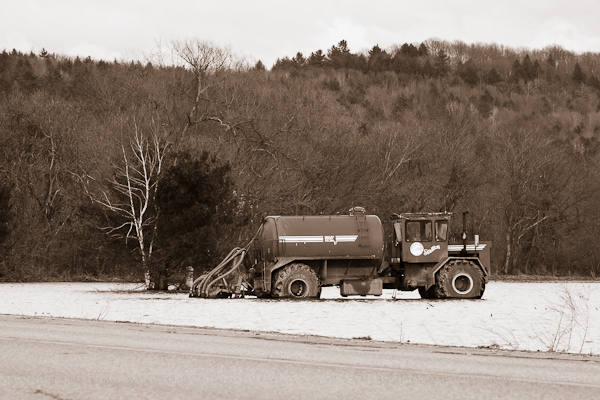
I can’t imagine this truck is going to move for a few days. Earlier this morning, Tawny informed me, there was a tractor in the middle of the field across the road. The tractor made its way out, but there were some serious ruts that indicated where it had been.

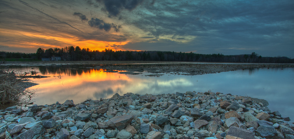
We walked around for a few more minutes as the sun set, enjoying the near 80 degree weather.   It’s hard to believe that this is a farmer’s field. Usually photos like this are down at the lake shore looking over at the Adirondack mountains.

It’s been an exciting year for weather in Burlington. What’s mother nature got in store for us next?